

- This event has passed.
Layers of St. Croix History: Human Geography
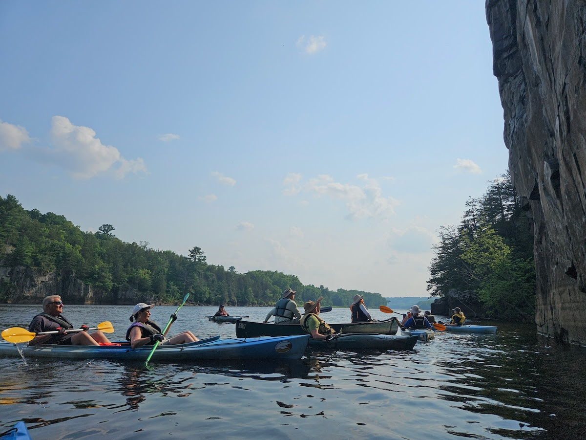
We are fortunate to partner with the Greg Seitz of St. Croix 360 for an incredible summer paddle series.
“Layers of St. Croix History” trips will offer a relaxing paddle down the river as Greg shares stories about unique aspects of the river’s past.
These seven-mile trips will take you past geologic features, natural wonders, and important places for human history. While each trip will highlight a specific historic theme, we will also look for birds, fish, mussels, flowers and other wildlife that are part of the river’s past, present and future.
Paddle 2: Human Geography
Date: 3–8 p.m. July 16
Location: Osceola Landing to Log House Landing
The St. Croix first appeared on European maps more than 300 years ago, and the river’s cartography was slowly refined over the following centuries. Learn about the pre-settlement geography: the population centers, territorial boundaries, seasonal locations, and travel routes, and hear about the European-American cartographers who put this place on the map. Greg will also talk about digital map data and how he uses it to inform his work. (Take home several maps illustrating these concepts.)


